
The Anchorage Bowl contains around 180 square miles. As buildable land disappears, the Anchorage Hillside has increased in attraction. The proposed Lewis & Clark Subdivision is located near the upper end of De Armoun Road. The site is close to 80 acres, including wetlands tracts, & around 30 residential lots. The average lot size will be near 1.5 acres.
Glacial moraine & outwash deposits comprise the unconsolidated substrata in this vicinity. The proposed subdivision is surrounded by previous developments. Similar soil & hydrology can be found in these neighboring subdivisions, as well as the proposed Lewis & Clark Subdivision. Residential lots have been successfully developed with on-site wastewater (septic) systems & water wells.
The Municipality of Anchorage (MOA) requires engineering & hydrologic studies to prove the land is suitable for development. Each residential lot will require at least one soil test to define soil types, permeability, groundwater depth, bedrock depth, water well placement, & surface water conflict. A large number of test holes have been excavated in determining the best sites for on-lot development.
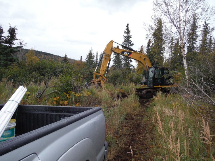
A groundwater monitor tube is installed in each test hole. It is important to separate the test hole from any surface water influence. A number of small surface seeps have been identified, that transmit run-off through the subdivision. If a test hole is located too close to one of these rills, the water may fill the test hole. This can give a false indication of groundwater. Several test holes have been relocated from such occurrences.
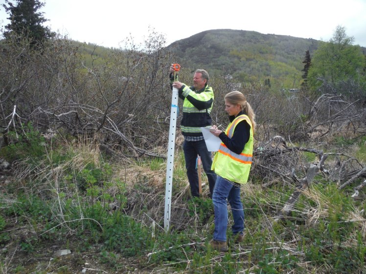
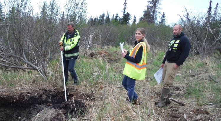
Becca Carroll & Tim Ecklund (MOA) recording groundwater depths. Todd Brownson observes measurements.
Each test hole is periodically monitored for groundwater. The MOA requires high water readings be taken during October & May. The MOA accompanied project personnel in May 2017, to determine groundwater depths & inspect water wells. This data will become permanently recorded in the soils report.

Capped artesian well & 2 other water wells inspected.

